Bangladesh /Khulna Division /Bagerhat District /Bagerhat
Sundarban is located at Satkhira, 743439, Bangladesh. Edit
Detail InformationEdit
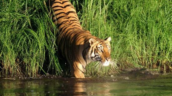
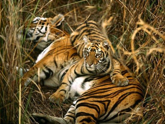
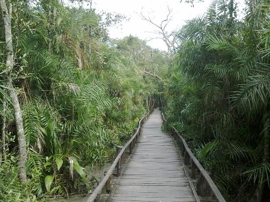
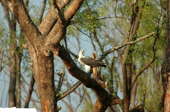
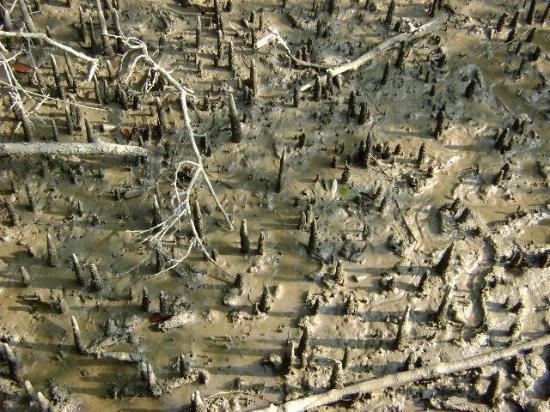
Sundarban is the largest single block of tidal halophytic mangrove forest in the world. The name Sundarban can be literally translated as “beautiful jungle” or “beautiful forest” in the Bengali language (Sundar, “beautiful” and ban, “forest” or “jungle”). The name may have been derived from the Sundari trees that are found in Sundarbans in large numbers. Alternatively, it has been proposed that the name is a corruption of Samudraban or Chandra-bandhe (name of a primitive tribe). But the generally accepted view is the one associated with Sundari trees. The Sundarbans is intersected by a complex network of tidal waterways, mudflats and small islands of salt-tolerant mangrove forests. The interconnected network of waterways makes almost every corner of the forest accessible by boat. The area is known for the eponymous Royal Bengal Tiger (Panthera tigris tigris), as well as numerous fauna including species of birds, spotted deer, crocodiles and snakes. The fertile soils of the delta have been subject to intensive human use for centuries, and the ecoregion has been mostly converted to intensive agriculture, with few enclaves of forest remaining. The remaining forests, pain together with the Sundarbans mangroves, are important habitat for the endangered tiger. Additionally, the Sundarbans serves a crucial function as a protective barrier for the millions of inhabitants in and around Kolkata against the floods that result from the cyclones that are a regular occurren.
HistoryEdit
The Sundarban forest lies in the vast delta on the Bay of Bengal formed by the super confluence of the Ganges, Brahmaputra and Meghna rivers across Saiyan southern Bangladesh and West Bengal, India. The seasonally-flooded Sundarbans freshwater swamp forests lie inland from the mangrove forests on the coastal fringe. The forest covers 10,000 sq.km. of which about 6,000 are in Bangladesh. It became inscribed as a UNESCO world heritage suite in 1997, but while the Bangladeshi and Indian portions constitute the same continuous ecotope, they are separately listed in the UNESCO world heritage list as the Sundarbans and Sundarbans National Park, respectively. The Bangladesh part of the Sundarbans is estimated to be about 4,110 km², of which about 1,700 km² is occupied by waterbodies in the forms of river, canals and creeks of width varying from a few meters to several kilomete
Must SeeEdit
Popular
Visiting TimeEdit
N.A.
Closed OnEdit
N.A.
Best Season to VisitEdit
October to March.
Best Time To VisitEdit
Morning, Afternoon, Evening.
Time Required for SightseeingEdit
2 to 3 hours.
Ticket Required : No Edit
Individual National Adult Rs. : N.A.
Kids Rs. : N.A.
Individual Foreigner Adult Rs. : N.A.
Kids Rs. : N.A.
Still Photo Camera Rs. : N.A.
Video Camera Rs. : N.A.
Guide Required : No Edit
Approximate cost: N.A.
Dress Code (If Any) : No Edit
Dress Require: N.A.
Restaurants NearbyAdd / Edit
- Dhansiri Restaurant ; Bagerhat – Khulna Rd, Bagerhat, Bangladesh. ; Ph/M – N.A. ; Food Serve – N.A.
How to ReachEdit
Taxi : N.A.
Bus : The best way to go to Bagerhat from Dhaka is to take a bus which takes seven to eight hours. Local buses run from Khulna regularly (Tk 30, 45 minutes). It’s also connected to Mongla with only slightly more effort.
Train : Bagerhat is the terminus of a branch railway from Khulna on the broad gauge system of Bangladesh Railways. After reaching at railway station take a bus to the city.
Air : Nearest Airport is Jessore Airport (IATA: JSR, ICAO: VGJR) is an domestic airport in Jessore, Bangladesh. It is 113 km from Bagerhat . After reaching at airport take a bus to the city.
Others : Cycle-rickshaw from the bus stand is availavle to local Sightseeing.
Things to CarryEdit
- Carry Camera & Plenty of Water.
Safety / WarningEdit
- Before purchasing any product confirm price from local.
HelplineEdit
- Police – 999
- Fire / Ambulance – 199
