India /Maharashtra /Akola /Akot
Narnala Fort is located in the Akot Taluka, Akola District, Amravati Division, Maharashtra. The closest city is Akot which is 18 km away. Edit
Detail InformationEdit
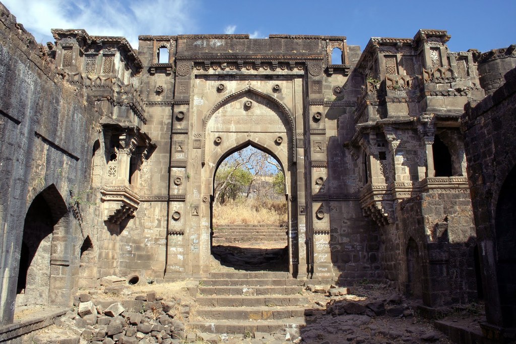
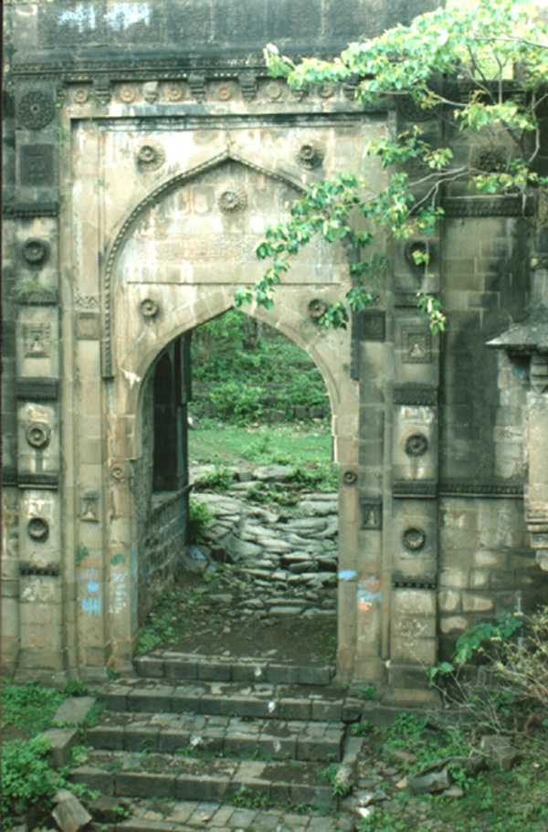
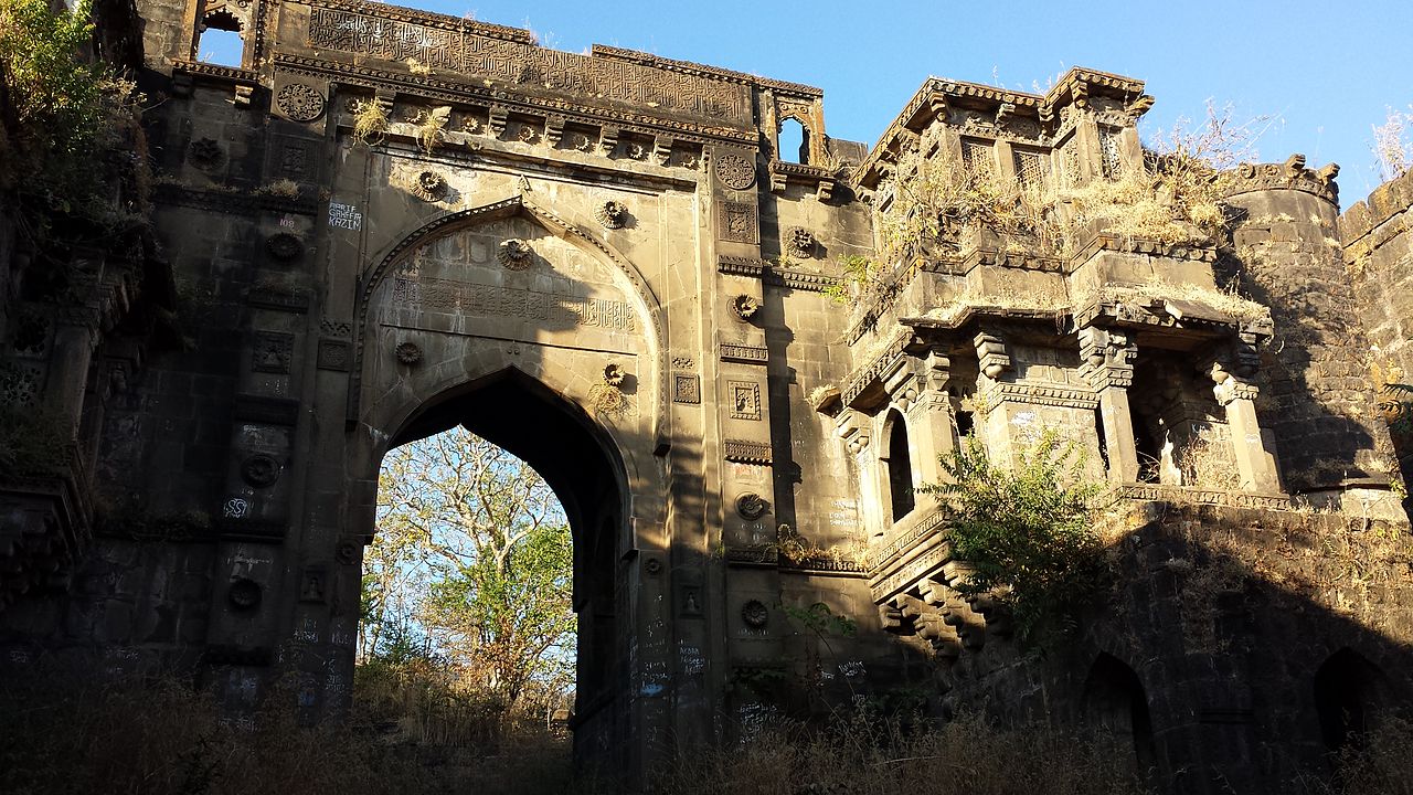
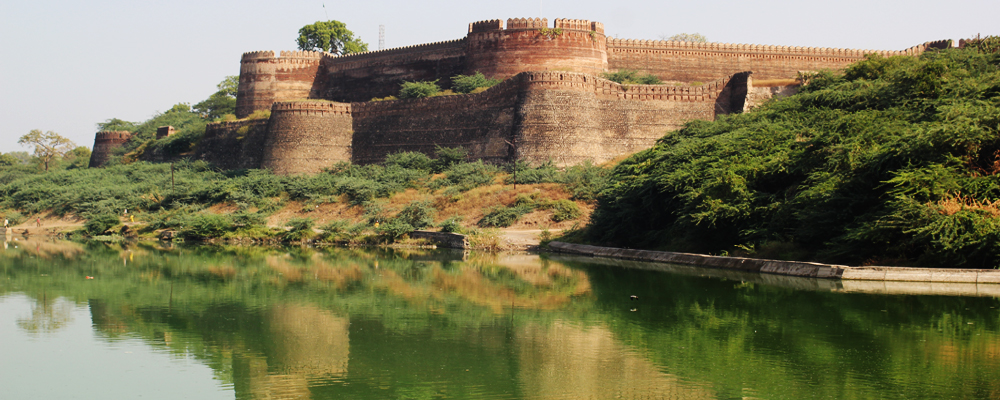
Narnala Fort is an ancient fortress in the hills in the north of Akot, taluka at a point where a narrow tongue of Akola District runs a few miles in to the Melghat. The fortress lies about 12 miles north of Akot, the road passing through Bordi and the deserted village of Shahanur. The fort covers 392, acres, and the walls, which only approximately keep at the same level, wind about so much in following the shape of the hill that people say the full circuit measures 24 miles. It would certainly take very many hours to trace out all the buildings, especially as the walls, through generally in excellent condition, have crumbled in places and the enclosure is much overgrown with long grass and bushes. It is said that there were 22 tanks, six of which still hold water all the year, 22 gates, and 360 Buruj towers or bastions.
HistoryEdit
According to tradition a very old fort, Narnala was repaired by Ahmad Shah Bahamani around 1425 AD, and in 1487 AD it came under the control of Fateh-ullah Imad-ul-Mulk, the founder of Imadshahi at Ellichpur, now called Achalpur. During Akbar’s rule. Narnala was a Suba. Narnala was captured by Parsoji Bhosale I in 1701 AD and remained with the Marathas till it was taken over by the British in 1803 AD.
Must SeeEdit
Attraction
Visiting TimeEdit
N.A.
Closed OnEdit
N.A.
Best Season to VisitEdit
October to April.
Best Time To VisitEdit
Morning, Afternoon, Evening.
Time Required for SightseeingEdit
1 to 2 hours.
Ticket Required : No Edit
Individual National Adult Rs. : N.A.
Kids Rs. : N.A.
Individual Foreigner Adult Rs. : N.A.
Kids Rs. : N.A.
Still Photo Camera Rs. : N.A.
Video Camera Rs. : N.A.
Guide Required : No Edit
Approximate cost: N.A.
Dress Code (If Any) : No Edit
Dress Require: N.A.
Restaurants NearbyAdd / Edit
How to ReachEdit
Taxi : The “NH6” runs through Akola from Hazira (Surat) to Kolkata. NH6 is a part of Asian Highway 46. State Highway no. 68 & 69 also pass through the municipal limits. Taxi is also available here.
BUS : City Transport: Akola Municipal Transport (AMT) runs Akola’s public transport service. Autorickshaw is also widely used in Akola city for city transport. Maharashtra state transport buses are most commonly used by people to travel to rural parts of the region. They are the cheapest means of transport. State-owned and private air-conditioned bus services run daily to most major cities to and from Akola. The bus frequency is good. Bus service is available for cities like Pune, Nagpur, Bhopal, Indore, Hyderabad, Nanded, Amravati, Mumbai, Nashik and Jabalpur.
Train : Akola railway station is an important station in the state and there are regular services from many cities. The station has good connectivity to places such as Bikaner, Jaipur, Pune, Indore, Mumbai, Delhi, and Ahmadabad, Chennai, Hydrabad, Howrah and many other cities.
Air : Akola Airport, (also known as Shivani Airport) (IATA: AKD, ICAO: VAAK) is the domestic airport of Akola city at an elevation of 999 ft and has one runway (4,600×145 ft). The airport is just 7 km from the city on National Highway No. 6. No scheduled commercial air services available at current times. The nearest international airport is at Nagpur (250) and at Aurangabad, Maharashtra (265). One can hire a taxi from the airport to the city of Akola.
Others : N.A.
Things to CarryEdit
- Carry Camera & Plenty of Water.
Safety / WarningEdit
N.A.
HelplineEdit
- Police : 100
- Ambulance : 102
- Fire : 101
