Category Archives: Location

Jowai

India /Meghalaya /Jaintia Hills /Jowai

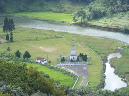
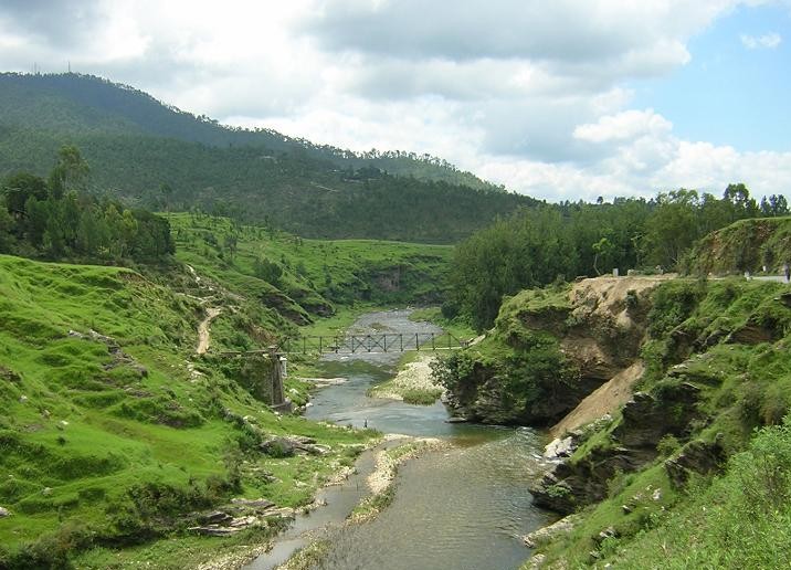
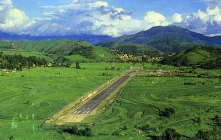
The town of Jowai is located in the Indian state of Meghalaya. This town, also known popularly as Jwai, is a major tourist destination in the state, and it is located in the Jaintia Hills district. The entire state is famous for its scenic setting and breathtaking locations, and Jowai is not behind in its natural beauty. Jowai is home to many tribes, and these tribal settlements and villages can be visited during your stay in Jowai. The place is steeped in cultural heritage, and you can experience the culture that the tribes in Jowai follow. You can also visit Jowai during the time of the Behdeimkhlam festival, which is a major local festival in the region. Many local delicacies will be prepared during this time, and festivities will be at their peak. You can also visit Syntu Ksiar during your trip to Jowai. This is located along the river Myntdu, and this place once played a prominent role in India’s freedom struggle. A monument dedicated to Kiang Nangbah can be seen here, who was the driving force behind the struggle. You can also visit Thadlaskein Lake, which is a popular tourist hotspot here, and Lalong Park can also be visited.

Jowai

Jowai

Quick Facts-Edit

Category : Hill Station

Time Zone: UTC + 5:30 Hours

Pincode: 793150

STD Code: 3652

Info Website: N.A

Best Time to Visit:  Nov – Apr

HistoryEdit

Jowai is the headquarters of Jaintia Hills district of the state of Meghalaya, India and is home to the Pnar tribe.Syntu ksia Located 2 kms from Jowai Town, the site is easily reachable from Jowai main market. In a field known as ‘Madiah Kmai Blai’stands the Memorial Monument of ‘U Kiang Nangbah’, the Jaintia Freedom Fighter. The spot is an ideal picnic and angling spot.Tyrchi Falls Located at about 4 kms from Jowai, one needs to trek for about a kilometer on a bridle path to reach to the falls. Jowai Presbyterian Church The oldest church in Jaintia Hills built by the Welsh Presbyterian Mission around 150 years back, is located within the precincts of town. It is one of the few structures that still retain the British form of architecture.

Places to VisitAdd

How to ReachEdit


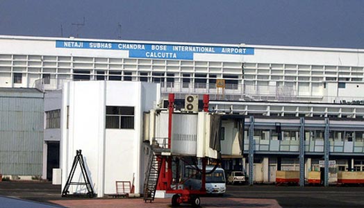
By Air : Umroi is the nearest airport to Jowai. However, there are direct flights only to Kolkata. The better option is thus to book tickets to Guwahati and then travel the remaining distance on road. The Lokpriya Gopinath Bordoloi International Airport is well connected to all parts of the country.

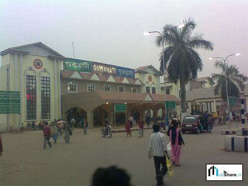
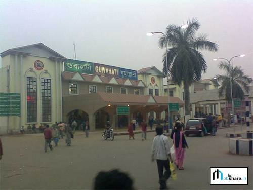
By Train : Meghalaya does not have any railhead and thus the Guwahati railway station is the nearest railway station to Jowai. Guwahati is about 160 kilometres from Jowai and it takes a little more than 4 hours to reach Guwahati. Tourists will first have to come to Shillong and then take a road transport to Jowai.

By Bus : There are several buses plying on this route that go to Silchar and other parts of Tripura. Tourists can also book private tourist vehicle from Shillong to Jowai. Picturesque landscape and small villages adorn both sides of the highway.

By Taxi : N.A

By Other : N.A

Top HotelsAdd

Top RestaurantsAdd

Must Eat FoodAdd

Must Do ActivitiesAdd

Must ShopAdd

Nightlife (Pub / Disc / BAR)Add

SpaAdd

FestivalAdd

Safety / WarningEdit

N.A

HelplineEdit

  • Police : 100
  • Fire : 101
  • Ambulance : 102

ItineraryEdit

N.A
Gallery

Joshimath

India /Uttaranchal /Chamoli /Joshimath

Joshimath is a town that is located in the state of Uttarakhand in the District of Chamoli. The place is highly revered by Hindus and it is an important pilgrimage center in the country. Many devotees and travelers can be seen in the area during the pilgrim season. There are many temples and other religious sites that are located in the town as well. The town serves as a base for travelers who are looking to take a trek to some of the higher regions. One can reach the Valley of Flowers by taking a trek from the town of Joshimath. There are many hotels and dharamshalas that are located in the town as well and these cater to the visitors. There is an 8th century matt called the Adi Guru Sri Sankaracharya and this is one of the most popular places in the town. There are many temples that are located here as well and one can see them all around the town. For the ones among you who are interested in adventure sports, there is a place called Auli that is located around 16 km from the town. This is one of the few places where you can experience sports such as ice skiing. The Nanda Devi Park is also another tourist spot in the region. The climate in the town of Joshimath is cold throughout the year and one has to bring heavy protective clothing while travelling to the place.

Quick Facts-Edit

Category : Pilgrim

Time Zone: UTC + 5:30 Hours

Pincode: 246443

STD Code: 1389

Info Website: N.A

Best Time to Visit:  Apr – May, Sep – Nov

HistoryEdit

Jyotirmath, also known as Joshimath is a city and a municipal board in Chamoli District in the Indian state of Uttarakhand.Joshimath is a popular hill station and a famous centre for pilgrimage at a height of 1,890mts above sea level in Chamoli district of Garhwal division in Uttaranchal. In ancient scriptures Joshimath is described as Kartikeyapura as it has been named after Kartikeya, the God of Katyuri kings. Joshimath is one of the four maths or monasteries established in the 8th century by Adi Guru Sri Shankaracharya. The rivers Alkananda and Dhauliganga meet at the confluence of Vishnuprayag located just below Joshimath. Joshimath is the base for trekking to the famous Valley of Flowers. The best time to visit Joshimath and for the trek is from mid July till end-August. Among the important attractions of Joshimath includes a temple dedicated to Narashima, an incarnation of Lord Vishnu. Some other temples are dedicated to Hanuman, Gaurishankar, Ganesha, and Naudevi and Surya.In winters, the town becomes home to Lord Badri who is brought down from Badrinath to Vasudeva temple at Joshimath. Some nearby places of excursion are Auli, one of the best skiing destinations in India and Nanda Devi National Park which is 23kms from Joshimath.

Places to VisitAdd

How to ReachEdit

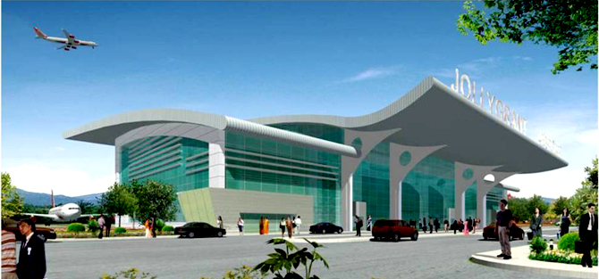
By Air : The Jolly Grant Airport (Dehradun) is the closest airport and this is situated around 270 km away from the town of Joshimath. The airport is connected to the capital city of Delhi by frequent flights. If you are planning to reach the place by air, then this is the most suitable option. Taxis can be hired at the airport and they cost around Rs 3000 for a non A/C sedan. Taxis are comfortable for long drives and it takes around six hours from Dehradun to Joshimath.

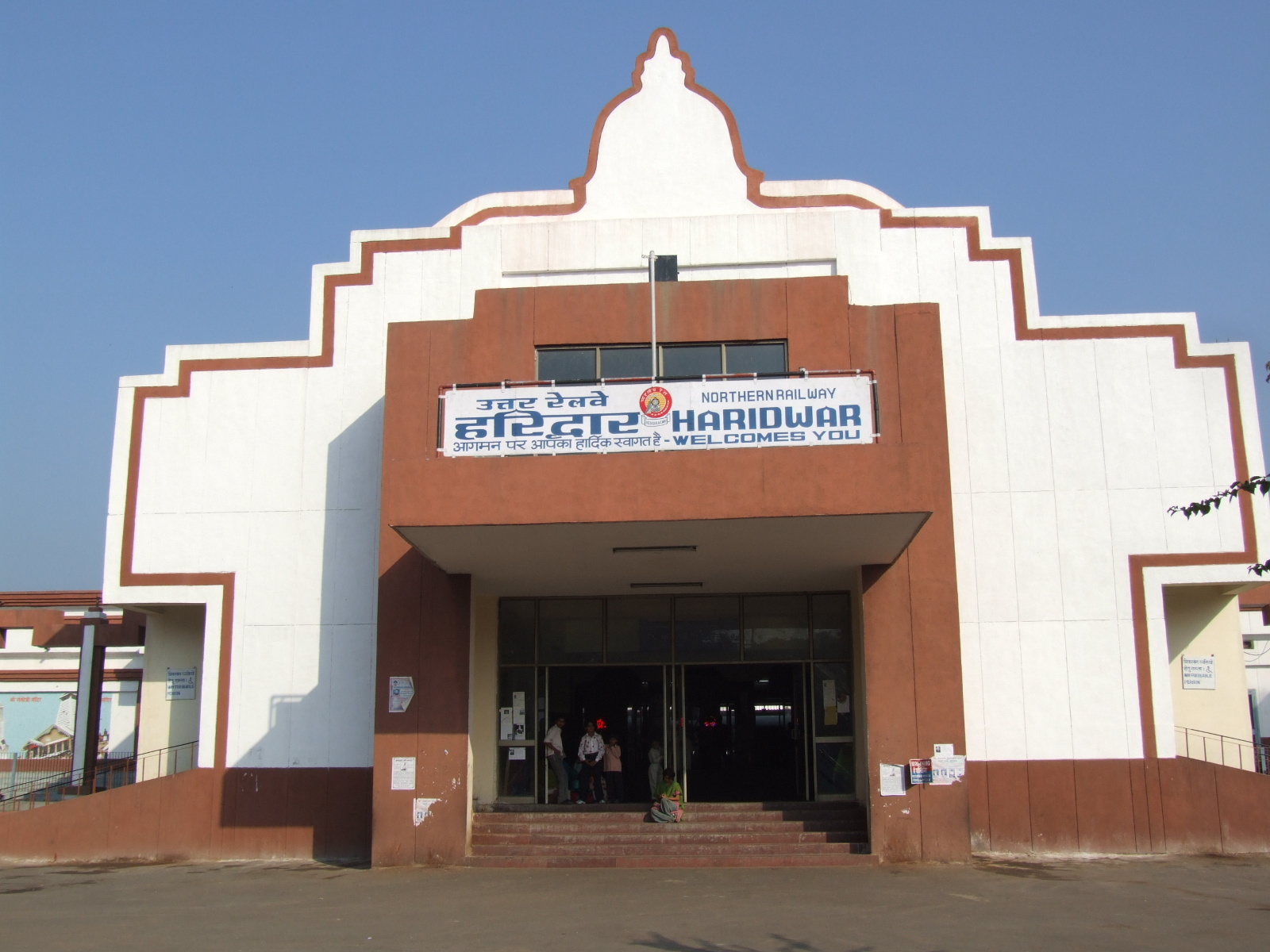
By Train : If you are arriving by trains, the best option would be to reach the station at Haridwar. Trains are inexpensive and one can travel in a comfortable manner. Trains are available to Haridwar from places such as Delhi, Ahmadabad and Dehradun. Trains are the most preferred mode of travel among pilgrims and it is advisable to book your tickets in advance to be assured of a berth. Tickets from Dehradun cost around Rs 120.

By Bus : The town of Joshimath is connected to cities such as Dehradun, Rishikesh, Haridwar, Almora and Nainital. Buses are frequent and they are cheap as well. Tickets from Rishikesh cost round Rs 150.

By Taxi : N.A

By Other : N.A

Top HotelsAdd

Top RestaurantsAdd

  • Nav Durga Hotel and Restaurant ;  TCP Market, National Highway 58, Joshimath, Uttarakhand.
    ; M –  N.A ; Food Serve :  Indian

Must Eat FoodAdd

Must Do ActivitiesAdd

Must ShopAdd

Nightlife (Pub / Disc / BAR)Add

SpaAdd

FestivalAdd

Auli Skiing Festival ; Venue:  Joshimath ; Period :  February/March ; Details:  Auli Skiing Festival is held every year in February/March. Auli, a prominent winter sport destination, is 16 km from Joshimath and is connected by the highest ropeway in Asia.

Safety / WarningEdit

N.A

HelplineEdit

  • Police : 100
  • Fire : 101
  • Ambulance : 102

ItineraryEdit

N.A
Gallery

Jorhat

India /Assam /Jorhat /Jorhat

Jorhat is a large town that is situated in the state of Assam. The town has a significant history and there are many tombs and burial places of ancient kings that can be seen in and around the town. One can see the burial site of the Ahom Kings in Rajmaidam. There are various tea plantations and gardens that are located here and these are worth visiting. Driving around the gardens can be pleasant experience. It is also possible to visit the Tocklai Research Association that is located near the town and this is one of the oldest research centers of this type. There are many temples and monasteries that are present in the town as well and some of them are Hatigar, Dekiakowa Bornamghar, Borbetai Than, Garakiadhol Temple, Garmur Satra and Dakinpat Satra. The town has a good mixture of both ancient and modern culture and the people in this town are striving to maintain old traditions and practices. It might be worthwhile to check out the Gibbon Wildlife Sanctuary that is located nearby. Chandan Nagar is a suburb of the city that is known for its culturally active population. There is a modern golf course that can be seen in the town at the Gymhkan Club as well.

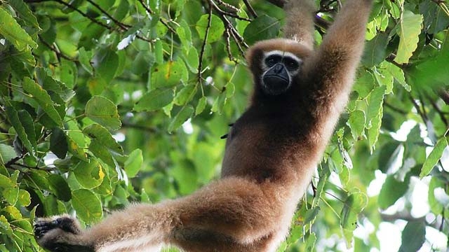
Hollongapar Gibbon Wildlife sanctuary  in Jorhat

Hollongapar Gibbon Wildlife sanctuary in Jorhat

Quick Facts-Edit

Category : Wildlife

Time Zone: UTC + 5:30 Hours

Pincode: 785001

STD Code: 376

Info Website: N.A

Best Time to Visit:  Oct – Mar

HistoryEdit

Jorhat City is a city in the state of Assam. Jorhat acts as a gateway to upper Assam and to the state of Nagaland. It was the last capital of the Ahom Kingdom and home to many historical monuments of Assamese culture. In the north of the district, the Brahmaputra River forms the second largest riverine island of the world.Majuli Island. Majuli Island is a freshwater island located about 20km from Jorhat in the Brahmaputra River. The island is rich in both natural and cultural history. The bird life is particularly varied. The population of the island live primarilly in the 23 villages on the island and are primarilly tribal people. Coupled with some unique Hindu monastries these features have resulted in Majuli Island being short listed for consideration for UNESCO World Heritage status.

Places to VisitAdd

How to ReachEdit


By Air : Jorhat has an airport that is located nearby and it is called the Rowraih Airport. The place is connected to some of the main cities in the country such as Bangalore, Guwahati and Kolkata. It has flights to places such as Shillong and Dibrugarh as well. Taxis are available and if you are landing at the airport, these can be used to reach the town.

By Train : The town of Jorhat has a railway station that receives two trains from Guwahati. The nearest major railhead is the Mariani Junction that is located around 17 km from the town itself. The frequency of trains passing through this place is higher. Tickets rates for a second class sleeper berth are around Rs 170 from Guwahati to Jorhat. Taxis are available at both Jorhat Junction and Mariani Junction to the town center.

By Bus : N.A

By Taxi : N.A

By Other : N.A

Top HotelsAdd

Top RestaurantsAdd

  • Jardines de Zoraya ;  Jardines de Zoraya, Panaderos Street 32, 18010 Granada ; M –  958 206 266 ; Food Serve :  Food Serve
  • Sagar Restaurents ;  Raja Maidam Rd, New Colony Jorhat, Assam. ; M –  N.A ; Food Serve :  Indian

Must Eat FoodAdd

Must Do ActivitiesAdd

Must ShopAdd

Nightlife (Pub / Disc / BAR)Add

SpaAdd

FestivalAdd

Safety / WarningEdit

N.A

HelplineEdit

  • Police : 100
  • Fire : 101
  • Ambulance:102

ItineraryEdit

N.A
Gallery

Jilling

India /Uttaranchal /Kumaon /Jilling

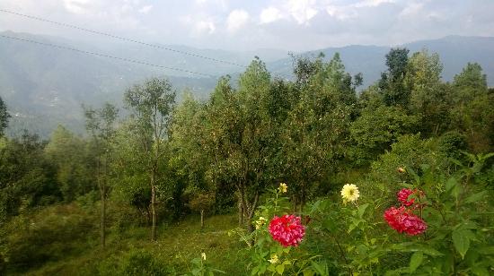
Jilling is a town located in the Indian state of Uttaranchal. This town is a holiday destination that is located at an altitude of 7000 feet, and it serves as a quiet getaway, away from the hustle and bustle of other major tourist hotspots. As the town serves mainly as a quiet hill resort, there are not many places to see in Jilling and you can just take a walk through the forests present in the region in order to connect with nature. You can also spot mountain deer and jungle cats on the course of your exploration. Bonfires are regularly organized by the few tourists who come to Jilling, and these can be fun to attend. Fishing is another popular activity that tourists who travel to Jilling indulge in. The town of Jilling also provides options for trekking, wild life viewing and bird watching. You can also take a tour to the nearby tourist destinations of Nainital and Bhimtal during your trip to Jilling.

Jilling Hill Station

Jilling Hill Station

Quick Facts-Edit

Category : Hill Station

Time Zone: UTC + 5:30 Hours

Pincode: 723127

STD Code: N.A

Info Website: N.A

Best Time to Visit:  Mar – Oct

HistoryEdit

Jilling comes under the Nainital district of Uttarakhand state of India. During the pre-historic ancient period, Nainital was known by the name of “Khasidesh” as this place was ruled by ‘Khasis’ before the birth of Christ.

Places to VisitAdd

How to ReachEdit


By Air : N.A

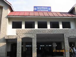
By Train : Trains to the town of Jilling can’t be taken directly as the town does not have a railway station. Trains can be taken to the nearest railway station though, located in Kathgodam. The railway station in Kathgodam has frequent trains from Delhi, and these trains will charge fares ranging around Rs 150 for the basic class of travel. Air conditioned coaches will charge fares ranging around Rs 380.

By Bus : Buses can be taken directly to the town of Jilling from the nearby regions, as Jilling has a well established bus stand and a wide network of interstate buses. Buses from New Delhi can be taken directly to Nainital, and Jilling can be reached from here through local buses or even taxis. Bus fares from Delhi to Nainital will range around Rs 450 for the basic class of travel to Rs 750 for air conditioned travel. You can also opt for deluxe Volvo buses, which will charge you fares of around Rs 950. This is an easy way to reach Jilling.

By Taxi : N.A

By Other : N.A

Top HotelsAdd

Top RestaurantsAdd

Must Eat FoodAdd

Must Do ActivitiesAdd

Must ShopAdd

Nightlife (Pub / Disc / BAR)Add

SpaAdd

FestivalAdd

Safety / WarningEdit

N.A

HelplineEdit

  • Police : 100
  • Fire : 101
  • Ambulance :102

ItineraryEdit

N.A
Gallery

Khurja

India /Uttar Pradesh /Bulandshahar / Khurja

Khurja is a city in the Bulandshahar district in the Indian state of Uttar Pradesh. It is situated around 85 km from Delhi. Khurja supplies a large portion of the ceramics used in the country, hence it is sometimes called The Ceramics City. The town is also famous for its special sweet, known as ‘Khurchan’.The name Khurja is derived from the Urdu word kharija meaning, cancelled or condemned, as the revenue for this town was waived because this land included many swamps and the agricultural possibilities were rare. Khurja is now famous for its ceramics. With over 500 factories producing ceramic works, its skyline is dotted with chimneys.

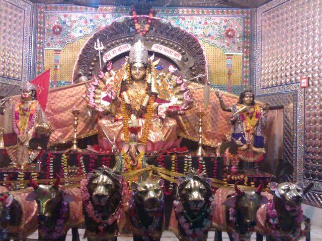
Nav Durga Shakti Mandir, Khurja

Nav Durga Shakti Mandir, Khurja

Quick Facts-Edit

Category : Heritage, City

Time Zone: UTC + 5:30 Hours

Pincode: 203 131

STD Code: 5738

Info Website: N.A.

Best Time to Visit:  October-March

HistoryEdit

N.A.

Places to VisitAdd 

How to ReachEdit

By Air : There is no airport in Khurja. Nearest airport to Khurja is Indira Gandhi Intl Airport, Delhi (81 km).

By Train : There are regular trains from other major cities of the country to Khurja.

By BUS : Khurja does not have a bus stand. Nearest option is Bulandshahar.

By Taxi : Taxis and Auto rickshaws are easily available for moving about in the city.

By Other : N.A.

Top HotelsAdd 

Top RestaurantsAdd 

Must Eat FoodAdd

Must Do ActivitiesAdd

Must ShopAdd

Nightlife (Pub / Disc / BAR)Ad 

SpaAdd

FestivalAdd

Safety / WarningEdit

  • Beware of pickpockets as Khurja is a major tourist city in India.

HelplineEdit

  • Ambulance : 102
  • Fire Brigade : 101
  • Police : 100

ItineraryEdit

N.A.

Gallery

Khodala

India /Maharashtra / Thane / Khodala

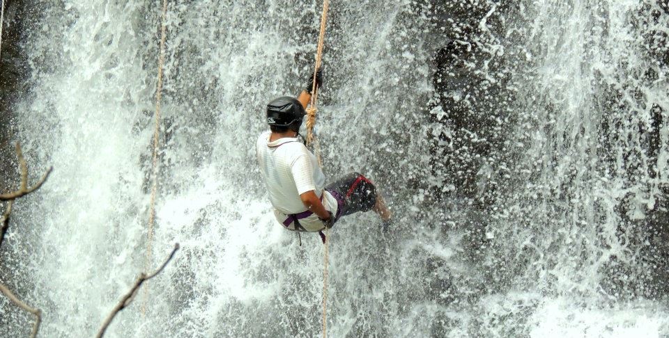
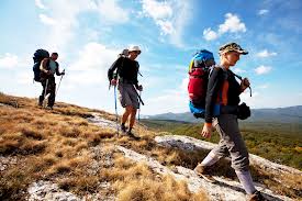
Khodala, a fascinating village with a quiet and calm ambiance, is located at an altitude of 1800 feet in the Thane district of Maharashtra. This is a dense woody place in a hilly environment and is really an amazing picnic spot to roam in. Khodala still upholds the traditional values and rituals of its own. Blessed with rocky terrain and marvelous environment, Khodala gives an unusual feeling of being out in the wilderness. Though Khodala situates near to Mumbai, it is a less explored holiday spot. A traditional tribal village, inhabited mostly by tribal population, untouched by modernity gives a clear picture of the rural Indian culture. The attire of the tribal people needs a special mention. Tribal dance and music celebrated through out the night in special occasions is a major attraction to any of the tourists. Animal sacrifice which date back to the vedic ages is still practiced by the aborigines of this rustic village. A visit to Khodala offers a wonderful experience of adventurous sports like trekking, mountain biking, waterfall rappelling. The Amala wildlife sanctuary that houses an array of rare reptiles and other species of the animal kingdom is a fabulous place for a stopover. The thick forest around Khodala is a haven of beautiful birds. One can even spot a fabulous tiger in this amazing wilderness. Other major attractions in Khodala include Vaitarana lake, Tringalwadi fort, and the Igatpuri-Kasara ghats. Khodala with all its natural treasures is an exciting place to explore the serene beauty of nature. An amazing hilltop surrounded by magnificent topography, Khodala is a recommended place for those tourists who needs recoil from the tiresome busy city life.

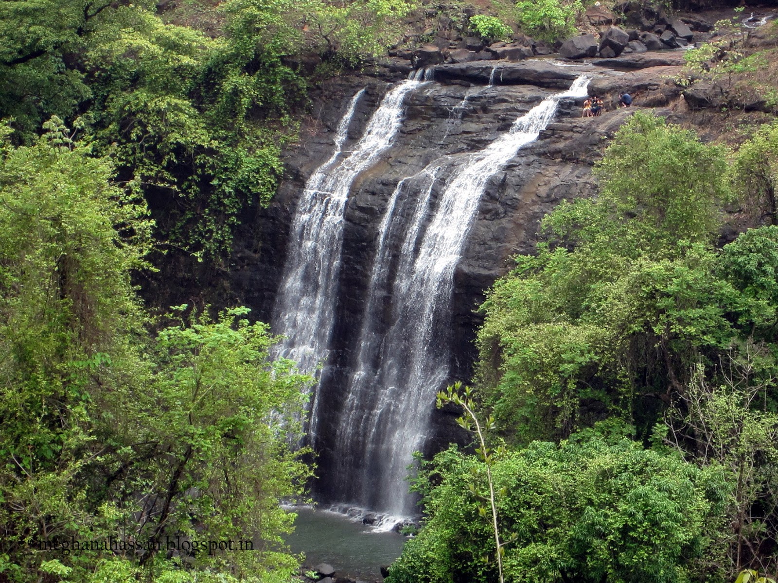
 Water Fall, Khodala

Water Fall, Khodala

Quick Facts-Edit

Category : Trekking

Time Zone: UTC + 5:30 Hours

Pincode: 410301

STD Code: 2529

Info Website: http://www.khandala.com/

Best Time to Visit:  October – March

HistoryEdit

N.A.

Places to VisitAdd

How to ReachEdit

Chatrapati Shivaji International Airport

Chatrapati Shivaji International Airport

By Air : Nearest major airport is Chatrapati Shivaji International Airport, Mumbai, which is nearly 150 km from Khodala. Mumbai (Bombay) is well connected to all major cities in India and also connected to many cities abroad. Taxi services are the one direct travel possibility from Mumbai to Khodala. It costs about Rs 3000.

By Train : Igatpuri is the nearest railway station which is connected to Pune and Mumbai by regular local trains. Igatpuri to Khodala costs about Rs 600 by taxi for covering a distance of 30 km. The Major railway junction nearby is Mumbai, which are connected to all stations in India.

By BUS : Khodala is well connected to other cities in and around by state owned public transport buses. Many private owned buses also provide transport service between Khodala and neighboring cities, including Mumbai, Igatpuri and Pune.

By Taxi : Taxis and Auto rickshaws are easily available for moving about in the city.

By Other : N.A.

Top HotelsAd 

Top RestaurantsAd 

Must Eat FoodAdd 

Must Do ActivitiesAdd

Trekking ; khodala trek ; Cost – N.A. ; Visiting Time –  N.A. ; Closed Time :  N.A.
Mountain Biking ; khodala trek ; Cost – N.A. ; Visiting Time –  N.A. ; Closed Time :  N.A.
Waterfall Rappelling. ; khodala trek ; Cost – N.A. ; Visiting Time –  N.A. ; Closed Time :  N.A.

Must ShopAdd 

Nightlife (Pub / Disc / BAR)Add

SpaAd 

FestivalAdd 

Safety / WarningEdit

  • Beware of pickpockets as Khodala is a major tourist city in India.

HelplineEdit

  • Ambulance : 102
  • Fire Brigade : 101
  • Police : 100

ItineraryEdit

N.A.

Gallery

Kasauni

India /Uttaranchal /Bageshwar /Kasauni

Kasauni, a great tourist destination renowned as Switzerland of India, is a picturesque hill station and is a wonderful halting place for Himalyan Tourists. The hill resort Kasauni is located at an altitude of about 1890 m above the sea level. This is a cute picturesque village with scenic splendor and vibrancy. This village has only about less than 300 inhabitants.his spectacular natural beauty offers the scenic view of a wide expense of Himalayan ranges. The eye watching views of about 350 km vast Himalayan ranges including the major peaks such as Panchchuli, Nanda Devi and Trishul are really awesome. A walk around this hilly village offers you mind blogging natural beauties and exquisite landscapes. This majestic hill resort breasting all the natural beauty is placed on the ridge of the hillock and the panoramic views of the Someswar valley in one side and Baijnath Katyuri and Garur on the other region from this top are breathtaking. The eye feasting views of the Sun rising above the Himalayan peaks is really a wonderful unforgettable experience from Kasauni. The lusting green Kasauni is surrounded by dense pine forests. The cool and pleasant ambience of this unspoiled and serene location makes it a much sought holiday destination for the Himalayan tourists, nature lovers and environmentalists. Many breathtaking picnic spots are available in and around this grandeur location. Enriched with attractive wild flowers and cool softy breeze carrying the fragrance of the hilly regions, Kasauni is really a must see tourist location in India subcontinent.

Hill Station,Kasauni

Hill Station,Kasauni

Quick Facts-Edit

Category : Hill Station

Time Zone: UTC + 5:30 Hours

Pincode: 263639

STD Code: 59628

Info Website: N.A.

Best Time to Visit:  April – June, September – November

HistoryEdit

N.A.

Places to VisitAdd 

How to ReachEdit

By Air : The nearest airport to Kausani is Naini Saini in Pithoragarh, which is nearly 112 km away from the heart of the city. Pre paid taxi charges nearly Rs 2500 from Pithorgarh to Kausani.

By Train : Nearest railway station is at Kathgodam. Kathgodam railway station to Kausani city is about 142 km, which can be covered by nearly 4 hours and for a cab it costs about Rs 2800, one way. Kathgodam is connected to many cities in the state.

By BUS : Kausani is well connected by state owned bus services. Bus services connect Kausani to other hill stations like Almora, Ranikhet, Nainital and Pittorgarh. Many overnight tourist bus services run by private companies are available from New Delhi to Kausani. The bus charge is around Rs 1200.

By Taxi : Taxis and Auto rickshaws are easily available for moving about in the city.

By Other : N.A.

Top HotelsAdd

Budget  – Up to Rs. 800
  • Kausani Resorts ; Kausani, Uttarakhand 263601 ; Ph – 099 99 600365 ; Facilities – N.A.

Top RestaurantsAdd

Must Eat FoodAdd

Must Do ActivitiesAdd 

Must ShopAdd 

Nightlife (Pub / Disc / BAR)Add

SpaAdd

FestivalAdd

Safety / WarningEdit

  • Beware of pickpockets as Kausani is a major tourist city in India.

HelplineEdit

  • Ambulance : 102
  • Fire Brigade : 101
  • Police : 100

ItineraryEdit

N.A.

Gallery

Kargil

India /Jammu and Kashmir /Kargil / Kargil

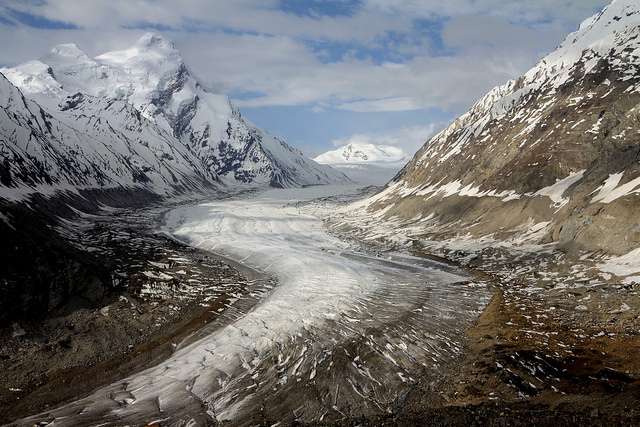
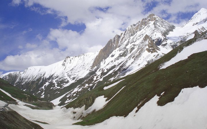
Kargil is one of the most important districts of Jammu and Kashmir. Located at a distance of 205 km from the capital city, Srinagar, the place served as a battlefield during the India-Pakistan war in 1999. Situated at a height of about 2,704 m, and close proximity to the Line of control, the region of Kargil is known for its valleys, small towns, monasteries, rural villages and shrines drawing many tourists.The place is indeed a heaven for adventure seekers as it offers many adventurous activities such as trekking and mountaineering. Some of the major attractions in Kargil includes Sani Monastery, Mulbekh Monastery, Rangdum Monastery, Zongkhul Monastery and Stonday Monastery. Other attractions like Phugthal Monastery, Karsha Monastery and Shargole Monastery at Padum in the vicinity of the destination can also be visited.
Best time to visit Kargil is during May and June.

Kargil, Ladakh

Kargil, Ladakh

Quick Facts-Edit

Category : Nature

Time Zone: UTC + 5:30 Hours

Pincode: N.A.

STD Code: 1985

Info Website: N.A.

Best Time to Visit:  October to March

HistoryEdit

N.A.

Places to VisitAdd 

How to ReachEdit

By Air : The Nearst Srinagar Airport is an international airport, named Sheikh ul Alam Airport. This airport is well connected and airlines offer regular flights from Delhi, Mumbai and Chandigarh. The airport is placed just 15 km away from the center of the city. Srinagar International Airport: 0194 230 3000.

By Train : The Nearst Jammu is the nearest railway station to Kargil , which is at a distance of 400 km. Jammu railway station is well connected to all major cities in India by rail. Direct train services are available from Delhi, Chennai, Bangalore and Trivandrum. Taxi services are available from Jammu to Kargil and the fare is about Rs 6,000.

By BUS : Various public and private buses connect Kargil to neighbouring towns and cities. Buses are available from Delhi, Chandigarh, Jammu, Leh, Pahalgam, etc.

By Taxi : N.A.

By Other : N.A.

Top HotelsAdd

Top RestaurantsAdd

Must Eat FoodAdd

Must Do ActivitiesAdd

Must ShopAd 

Nightlife (Pub / Disc / BAR)Ad 

SpaAd 

FestivalAd 

Safety / WarningEdit

  • Beware of pickpockets as Kargil is a major tourist city in India.

HelplineEdit

  • Ambulance : 102
  • Fire Brigade : 101
  • Police : 100

ItineraryEdit

N.A.

Gallery

View All Sight of Ladakh... Click Here

Drang-Drung Glacier
Pangong lake
Drass

Kalyan

India /Maharashtra / Thane / Kalyan

Kalyan city is located on the lower course of the Ulhas River with access to the Arabian Sea, via its two estuaries or creeks, the Thane Creek and the Vasai Creek. Kalyan is 48 km (30 mi) north-east of Mumbai. Overcrowding in Mumbai and incentives from the government to develop areas outside of Mumbai have attracted industrial business as well as industrial employees to Kalyan. Kalyan was also considered at one time as one of the best places to live in the neighborhood of Mumbai, as it is far away from the pollution of the main city.

Quick Facts-Edit

Category : City

Time Zone: UTC + 5:30 Hours

Pincode: 421301

STD Code: 251

Info Website:

Best Time to Visit:  March – October

HistoryEdit

Places to VisitAdd

How to ReachEdit

By Air : Closest airport Chhatrapati Shivaji International Airport – (32 Km ). Chatrapati Shivaji international airport is well connected to all major cities in India and also connected to many cities abroad including Singapore, New York, Bangok, Hong Kong and to many gulf cities. Chatrapati Shivaji international airport: 022 6685 1010.

By Train : Kalyan Junction is a very important railway station for suburban travel as well as for long distance trains. The suburban or metropolitan railway passenger transport line coming in from Mumbai splits into two at Kalyan Junction, one heads south-east for Karjat and Khopoli towards Lonavla, Mahabaleshwar and Pune, the other heads north-east for Kasara towards Nashik.

By BUS : Kalyan has an excellent road transportation system. State owned buses connect Kalyan to all neighboring points. Many Deluxe and Super Deluxe buses are available to travel in and out of the city. Bus fare is about Rs 3 to 4 per kilometer.

By Taxi : 0

By Other : N.A.

Top HotelsAdd

Budget  – Up to Rs. 800
  • Sitara International Hotel ; Kalyan, Maharashtra.; Ph – N.A. ; Facilities – Travel Desk, 24-hour front desk, 24-hour room service, Air conditioning, Elevators, Laundry, Parking.
Economy – Up to Rs. 801 to Rs. 1200
  • Ramdev Hotel ; Zozwala Shopping Centre, Agra Road, Kalyan, Thane, Maharashtra, Agra Rd, JijaMata Colony, Joshibaug, Kalyan, Maharashtra 421301. ; Ph – 0251 221 0794 ; Facilities – Travel Desk, 24-hour front desk, 24-hour room service, Air conditioning, Conference facilities, Elevators, Parking, 24-Hour Security, Banquet facilities.
Deluxe – Up to Rs. 801 to Rs. 1200
  • Heritage Residency Hotel ; Purnima Talkies, Near Hero Honda Showroom, Murbad Road, Kalyan, Maharashtra ; Ph – N.A. ; Facilities – Travel Desk, 24-hour front desk, 24-hour room service, Air conditioning, Conference facilities, Elevators, Laundry, Parking.
Luxury – Rs. 2501 and above
  • Springtime City Club ; Opp.K.D.M.C.- B Ward Office, Barave Road, Kalyan west, Bhoirwadi, Kalyan, Maharashtra 421301 ; Ph – 0251 223 3507 ; Facilities – Travel Desk, 24-hour front desk, 24-hour room service, Air conditioning, Conference facilities, Elevators, Laundry, Parking, 24-Hour Security, Bus Parking.

Top RestaurantsAdd

  • Relish Restaurant ;  Murbad Road, Kalyan West, Mumbai, Kalyan, Maharashtra 421301. ; M –  0251 232 2281 ; Food Serve :  Multi-Cuisine.
  • Relax Garden NX ;  Nandivali Bus Stop, Chakki Naka, Kalyan Haji Malam Road, | Kalyan East, Thane, – 421301, India ; M –  N.A. ; Food Serve :  Indian
  • Patisserie Uno ;  A-12, Shreya Palace, Santoshi Mata Road, Rambaug, Kalyan West, Thane ; M –  9619491880 ; Food Serve :  Multi-Cuisine.

Must Eat FoodAdd

Must Do ActivitiesAdd

Must ShopAdd

Nightlife (Pub / Disc / BAR)Add

SpaAd 

FestivalAd 

Safety / WarningEdit

  • Beware of pickpockets as Kalyan is a major tourist city in India.

HelplineEdit

  • Ambulance : 102
  • Fire Brigade : 101
  • Police : 100

ItineraryEdit

N.A.

Gallery


Khimsar

India /Rajasthan /Nagour / Khimsar

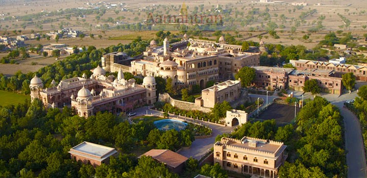
Khimsar is a small hamlet that is located in the state of Rajasthan. The village is situated right on the edge of the Thar Desert. The village is famous for its fort, which is an ancient building that has witnessed many battles. One can see many battle marks on the walls and parapets of the fort and the building has withstood the onset of time. The village was once an independent kingdom and it was ruled by the Thakurs of Khimsar. The fort is around 450 years old and it still the home of the royal family. The fort was originally designed as a military stronghold and later additional rooms were added. One can see many turrets and war stables in and around the fort. The women’s section of the fort or the Zenana was added in the 18th century. Many finely carved windows can be seen in this section of the fort and this is an interesting place to visit. Khimsar is an ideal place for day trips from nearby cities such as Jodhpur. The fort has been converted into a heritage hotel and it is one of the premier hotels in this category. One can also visit Osian which is a small village located around 27 km away. There are many Jain carvings and sculptures here.

Khimsar fort, Khimsar

Khimsar fort, Khimsar

Quick Facts-Edit

Category : Historical

Time Zone: UTC + 5:30 Hours

Pincode: 341025

STD Code: 1585

Info Website: N.A.

Best Time to Visit:  October – March

HistoryEdit

Khimsar is situated in district Nagaur of Rajasthan. A thikana of Jodhpur, Khimsar is beautifully located in the middle of a small village, just off the Jodhpur-Bikaner highway. In the far distance are sand dunes that shelter fields where black buck can be spotted grazing. Established in the 15th century by a scion of the house of Jodhpur, it’s history is a mixed one, reflected in the acthitecture of it’s fortified castleKhimsar 80 km from Jodhpur, Khimsar houses the 16th century fort built by Rao Karamsiji. He was the 8th son of the Jodhpur founder, Rao Jodha, who moved to this region and founded the Khimsar dynasty.

Places to VisitAdd

How to ReachEdit


By Air : The closest airport is located in the city of Jodhpur. The airport operates a few scheduled flights and is maintained by the air force. There are flights from different cities such as Jaipur, Mumbai, Delhi and Udaipur. This is good choice if you are planning to arrive by air. Taxis are available from the airport to the town and they cost around Rs 1,000 for the trip and the drive takes around 1.5 hours.

By Train : The closest railway station is also located in the city of Jodhpur and there are frequent trains to most of the important cities in the state. There are frequent trains that arrive from Delhi, Jaisalmer, Pune, Mumbai, Bikaner, Ahmadabad and many other cities. Trains are the best all round option.

By BUS : Khimsar is situated around 92 km on the Jodhpur-Nagaur-Bikaner Highway. State transport corporation buses and private buses connect Khimsar with other centers in the region.

By Taxi : Khimsar is a village that is located along the Jodhpur – Bikaner highway and the best option to reach the place is by hiring a taxi from either Bikaner or Jodhpur. The city of Jodhpur is located around 90 km from the place.

By Other : N.A.

Top HotelsAdd

Top RestaurantsAdd

Must Eat FoodAd 

Must Do ActivitiesAdd 

Must ShopAdd

Nightlife (Pub / Disc / BAR)Add 

SpaAdd 

FestivalAdd

Safety / WarningEdit

  • Beware of pickpockets as Khimsar is a major tourist city in India.

HelplineEdit

  • Ambulance : 102
  • Fire Brigade : 101
  • Police : 100

ItineraryEdit

N.A.

Gallery