India /Maharashtra /Akola /Akola
Akola, Mahrashtra. Edit
Detail InformationEdit
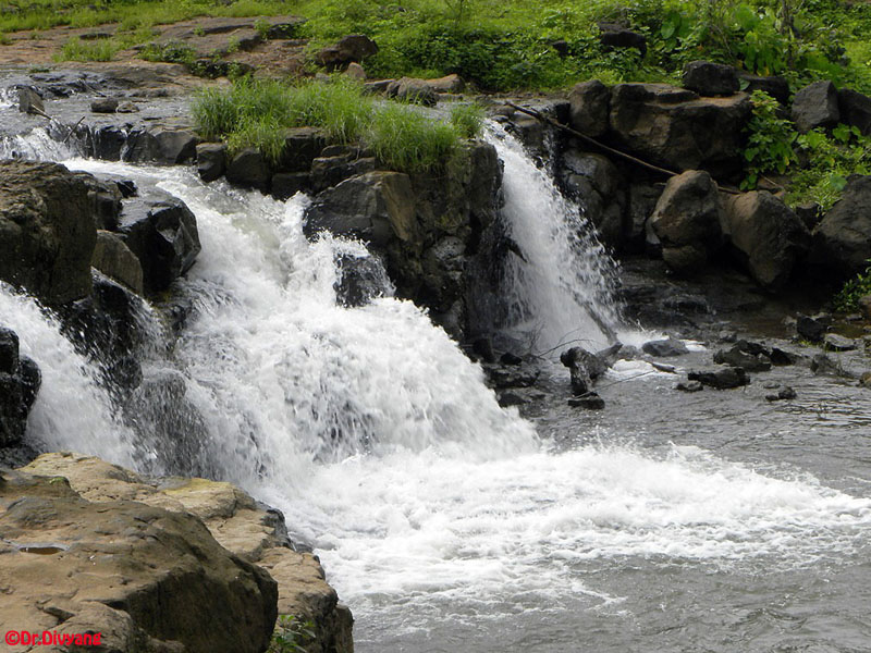
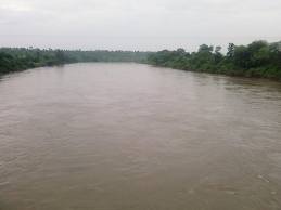
The Purna River starts in Amaravati district of Maharashtra and flows across Akola, Buldhana and Jalgaon district. The river finally flows into the Gulf of Khambhat near the city of Navsari in Southern Gujarat. The word Purna means Complete and also simultaneously known as `Sampurna`. Purna River has several tributaries, namely the Aarna River, Uma River, Pendhi River, Katepurna River, Shahanur River, Bhavkhuri River, Bhuleswari River, Chandrabhaga River, Morna River, Mas River, Mann River, Gandhari River, Vishwamitri River, Utawali River, Nirguna River, Aas River and Vaan River. Purna River, Indian riverThe Purna River is a river of Western India. It runs parallel to the Tapti River. The river rises in the eastern Satpura Range of southern Madhya Pradesh state, and flows westward, draining Maharashtra`s Vidarbha region before flowing into the Tapti River at Changdev in Jalgaon, Maharashta. The watershed lies mostly in eastern Vidarbha region of Maharashtra state and is nearly 7500 km.
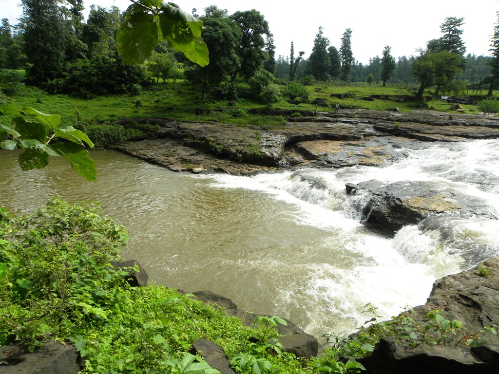
Purna River View
HistoryEdit
N.A.
Must SeeEdit
Attraction
Visiting TimeEdit
N.A.
Closed OnEdit
N.A.
Best Season to VisitEdit
October to April.
Best Time To VisitEdit
Morning, Afternoon, Evening.
Time Required for SightseeingEdit
1 to 2 hours.
Ticket Required : No Edit
Individual National Adult Rs. : N.A.
Kids Rs. : N.A.
Individual Foreigner Adult Rs. : N.A.
Kids Rs. : N.A.
Still Photo Camera Rs. : N.A.
Video Camera Rs. : N.A.
Guide Required : No Edit
Approximate cost: N.A.
Dress Code (If Any) : No Edit
Dress Require: N.A.
Restaurants NearbyAdd / Edit
How to ReachEdit
Taxi : The “NH6” runs through Akola from Hazira (Surat) to Kolkata. NH6 is a part of Asian Highway 46. State Highway no. 68 & 69 also pass through the municipal limits. Taxi is also available here.
BUS : City Transport: Akola Municipal Transport (AMT) runs Akola’s public transport service. Autorickshaw is also widely used in Akola city for city transport. Traffic is generally a problem, in the form of congestion due to increasing number of vehicles. Road accidents are often fatal and are very common. The municipal corporation is working with the IRDP (Integrated Rural Development Planning) to develope the roads of the city. This may create a new face of the city. Inter-city transport: Maharashtra state transport buses are most commonly used by people to travel to rural parts of the region. They are the cheapest means of transport. State-owned and private air-conditioned bus services run daily to most major cities to and from Akola. The bus frequency is good. Bus service is available for cities like Pune, Nagpur, Bhopal, Indore, Hyderabad, Nanded, Amravati, Mumbai, Nashik and Jabalpur.
Train : Akola railway station is an important station in the state and there are regular services from many cities. The station has good connectivity to places such as Bikaner, Jaipur, Pune, Indore, Mumbai, Delhi, and Ahmadabad, Chennai, Hydrabad, Howrah and many other cities.
Air : Akola Airport, (also known as Shivani Airport) (IATA: AKD, ICAO: VAAK) is the domestic airport of Akola city at an elevation of 999 ft and has one runway (4,600×145 ft). The airport is just 7 km from the city on National Highway No. 6. No scheduled commercial air services available at current times. The nearest international airport is at Nagpur (250) and at Aurangabad, Maharashtra (265). One can hire a taxi from the airport to the city of Akola.
Others : N.A.
Things to CarryEdit
- Carry Camera & Plenty of Water.
Safety / WarningEdit
N.A.
HelplineEdit
- Police : 100
- Ambulance : 102
- Fire : 101